|
|
|
The Danube Delta
|
|
The Last Sanctuary of Nature
|
| HYDROGRAPHICAL NETWORK: |
|
|
|
The Danube Delta
|
|
The Last Sanctuary of Nature
|
| HYDROGRAPHICAL NETWORK: |
|
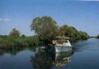
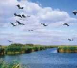
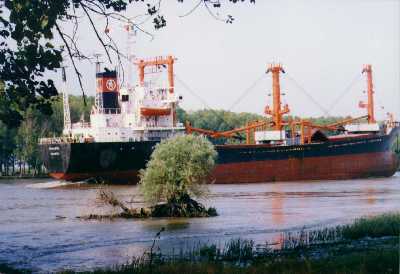
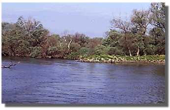
The hydrographical network consists of the arms of the Danube and the " sahale"( former arms of the river, now in a process of clogging), the brooks( smaller former river arms"), the canals( rectified and dredged smaller,former river arms), the breaches of the coastline, mouths through which the change of waters is made), the watery gulfs( whose depth varies between 0,5 and 3 m), the estuaries( formed at the mouth of some smaller rivers), the lagoons( old marime gulfs) and the swamps with hollow waters. |
||
 |
 |
|